MarinePlan offers a wide number of online services for marine applications.
The Location based Services require an API key that can be obtained by contract. Please contact us for a demo key.
Online Location Services Portfolio
Online Routing fast and highly configurable marine route planning service.
Online Maps dedicated uncluttered navigation map service with high freshness and level of detail.
Online Search marine search service.
Online Reverse Geocoding reverse geo-coding service in order to describe a certain location.
Online Map Matching map matching service to snap a clicked map location to a relevant canal.
Open Ship Data service to interchange vessel information such as location, speed and route.
Technical details on the LBS API
General
- All API calls allow HTTP but enforce the HTTP(S) protocol
- Most API calls use the GET method
- All coordinates are in WGS84 degrees in the order latitude,longitude.
- All distances are in meters.
HTTP Headers
- The API allows CORS requests by sending the header “Access-Control-Allow-Origin: *”.
- All JSON responses are sending the header “Content-Type: application/json; charset=utf-8”.
- PNG reponses are sending the header “Content-Type: image/png” as well as an ETag header.
HTTP Responses
- Successful requests are completed with a HTTP 200 response.
- Unknown endpoints report a HTTP 404 response.
- In case something is wrong with the access, a HTTP 403 is returned.
- Invalid requests (out of range errors, missing parameters, wrong values etc.) return a HTTP 400 response.
- Unexpected internal errors respond with HTTP 500 responses.
Cost for the API usage
All requests to the APIs are treated as transactions, billed per month, where:
- 15 map tiles is 1 transaction
- a search, map match, or reverse geocoding is 1 transaction
- a planned route is 1 transaction
- queries for boat locations in OpenShipData 1 transaction per request (including automatic login to participating bridges and locks).
The price is per 1000 transactions and there is a minimum number of 20,000 transactions per month. This is the common method for location-based requests in the market.
On inquiries, can you answer the following questions, so we can determine the price per transaction accordingly?
- Which APIs are involved (we have routing, maps, search, reverse geocoding, OpenShipData/boat locations)? Please name all that are important.
- Is it a mobile app or website?
- Is is single user use, or a multi-user product?
- Is the application used to plan ahead or is the app used as a navigation aid in the boat?
- Is it a paid application (what is the price per year/purchase price approximately)?
- What would be the maximum load of requests per second (or minute) at 1000 and 10000 users? This is the hardest question, but eg on a nice day, with up to N users, doing M actions X and Y every second, etc.
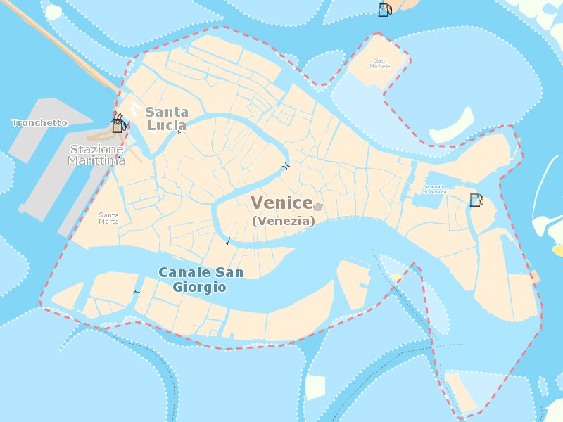
Map coverage
As of 2025 the maps cover Western Europe and the Mediterranean Sea (excluding Africa), as well as coastlines of Florida, Alabama, Mississippi and Louisiana.
Below you will find a few metrics to explain the map coverage.
Waterways density
The density is a statistical way of explaining how many kilometers waterways per km² are in the map (scale: 100 is perfect). Grey countries are not covered at all.
Marinas density
Every marina or harbour is a dot. The map allows zooming and panning.
Map Coverage in text
The map coverage is also available in web page format.
AIS Coverage
Our supplier AisHub has an interactive tool to explore the coverage of moving ships. Before contacting us, please zoom in to your region of interest to check feasibility.